 \n
\n
Heavy Snow Warning Declares: An Unexpected Spring Brings Winter Storms
Late April usually brings to mind pollen and warm sunshine. Yet right now, Colorado, Wyoming, and Montana are under an unprecedented heavy snow warning, turning the scene into a “winter in the middle of spring.” Why, of all times, is such a powerful snowstorm raging now?
The key lies in the fact that despite seasonal expectations, high-altitude mountain areas can easily still experience ‘winter conditions’. In these elevated regions, temperatures can plummet rapidly, and when moist air and strong winds combine, snow accumulates quickly. Add winds reaching 45 miles per hour (about 72 km/h), and it escalates from heavy snowfall to the dangerous visibility collapse known as a whiteout. In other words, this warning signals not just late snow—but a winter storm scenario where travel itself becomes hazardous.
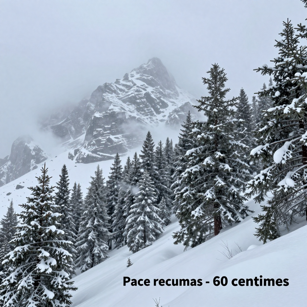
Regions will feel the impact more sharply. In Colorado, up to 24 inches (about 60 cm) of snow is expected around Grand Mesa, with mountain routes such as Crested Butte, Monarch Pass, McClure Pass, and Silverton directly affected. In Wyoming, Battle Pass is rated the highest risk with up to 24 inches, while the Sierra Madre Range and Snowy Range may see around 12 inches of snow. Some areas are even facing the possibility of Interstate highway closures. Montana, already battered by days of heavy snow, is forecasted to receive an additional 6 inches by Sunday morning, compounding the strain.
One sentence to remember in this situation: when a heavy snow warning advises avoiding non-essential travel, it means the weather is no longer merely inconvenient—it signals a shift in safety standards. The greatest threat isn’t just how much snow falls but the sudden visibility deterioration caused by fierce winds—a danger that multiplies exponentially on mountain roads.
Heavy Snow Warning: State-by-State Impact and Severity
In Colorado’s Grand Mesa, snowfall of up to 60cm (24 inches) is forecasted, while Wyoming’s Battle Pass is also expected to receive up to 24 inches, creating some of the worst conditions. Such heavy snow at the end of April isn’t just a “late spring snow”—it signals the return of winter-level risks that threaten transportation, power, and overall safety.
Colorado: Grand Mesa at the Center of Heavy Risk with Wet Snow and Strong Winds
- The Grand Mesa area is expected to receive up to 24 inches of snow, with other high mountain regions likely to see around 12 inches of wet snow.
- Wet snow is much heavier than light, fluffy snow, putting extra stress on tree branches and power lines, while quickly creating slushy and icy road conditions.
- Adding to the danger are strong winds reaching up to 45 mph (about 72 km/h), which, combined with the mountainous terrain (e.g., Crested Butte, Monarch Pass, McClure Pass, Silverton), raise serious concerns about rapid visibility deterioration and sharply increased driving difficulty.
Wyoming: Battle Pass Labeled ‘Highest Risk’ with Possible Road Closures
- Battle Pass, considered the most hazardous area in Wyoming, could see up to 24 inches of snowfall.
- The Sierra Madre Range and Snowy Range are also expected to receive about 12 inches, with some sections facing possibilities of Interstate highway closures.
- The critical threat goes beyond snow accumulation to the whiteout conditions caused by the combination of strong winds and terrain. Lane markers and road boundaries can vanish instantly, causing a dramatic spike in accident risk.
Montana: Additional Snowfall on Top of an Already Heavy Snowpack, Hindering Recovery
- Montana is already grappling with heavy snowfall from recent days, and an additional 6 inches is forecasted through Sunday morning.
- When snow accumulates on an already thick snowpack, snow removal and recovery efforts slow down, making local communities feel the risk well beyond the “forecast numbers.” Especially mountain roads may face an increased risk of isolation until snow clearance catches up.
Rising Severity Across the Board: Conditions That Make Travel Dangerous
This snowstorm is far more threatening than mere heavy snowfall because it combines strong winds (45 mph) + rapidly dropping visibility + potential whiteouts simultaneously. This is why the National Weather Service and local authorities strongly urge avoiding any unnecessary travel. In essence, the core message of this heavy snow warning is not just “a lot of snow is coming,” but a condition alert that “traveling now drastically increases your risk.”
Nature’s Fury: The Threat of Fierce Winds and Whiteouts (heavy snow warning which states)
Howling winds reaching up to 72 km/h are driving snow sideways, creating an actual whiteout that nearly erases visibility altogether. This is far beyond “heavy snowfall”—the core danger lies in the sudden environmental shifts that paralyze roads, daily life, and safety as a whole. Especially in high mountain areas, the mix of wet snow and gusts explosively intensifies perceived risk.
The ‘Invisible’ Disaster Created by Strong Winds
- Rapid Visibility Decline: Even before snow piles up, winds lift snowflakes, making it easy for drivers to miss lane markings, guardrails, or even the tail lights of the car ahead.
- Whiteout Illusions: Spatial awareness collapses, turning the simple belief of “moving forward” into a risk itself—leading straight to chain collisions and veering off the road.
- Possible Road Closures: In some places, the threat is so severe that interstate highway closures are being considered, turning travel into a game of chance.
Direct Impact on Daily Life: ‘Movement’ and ‘Infrastructure’ Break Down First
- Commute and Logistics Delays: More than the snow itself, it’s the impaired visibility caused by strong winds that first brings traffic to a standstill, delaying commuting, deliveries, and emergency responses.
- Power Outages and Communication Disruptions: Wet snow clings to power lines and tree branches, while gusting winds shake them violently, increasing the chance of damage.
- Rising Rescue Difficulties: Whiteout conditions make pinpointing locations tough, meaning longer rescue and towing times when accidents happen.
Essential Action Principles to Remember
The reason why the National Weather Service and local authorities stress “avoiding unnecessary travel” is simple: heavy snow warning which states that when strong winds and rapid visibility deterioration combine, traveling isn’t a choice—it’s a risk multiplier. Realistic responses include rescheduling plans, switching to remote work, and if travel is unavoidable, sticking to daytime hours and shortest routes to minimize danger.
Urgent Warning and Preparedness from the National Weather Service: Heavy Snow Warning Which States Essential Action Guidelines You Must Know
Authorities advise refraining from non-essential travel, and some roads face potential closures. The moment you think, “I’ll just step out for a bit,” is when the greatest danger arises. Especially when strong winds (up to 45 mph), rapidly reduced visibility, and the risk of whiteouts coincide, traveling itself becomes a matter of survival.
Avoiding Travel Is Not a Choice but a Safety Rule
The National Weather Service warning is not just a simple “snow forecast.” The core message of this heavy snow warning which states is that even short trips carry a heightened risk of becoming stranded on the road.
- Mountain areas and mountain passes are the first to feel the threat.
- Sudden controls or closures, including on interstates, may occur, potentially blocking your return route after departure.
Immediate Preparedness Checklist
- Reschedule plans: Postpone commuting, business trips, and shopping if possible; arrange for work-from-home alternatives.
- Regularly check official updates: Monitor National Weather Service (NWS) warnings, local announcements, and road traffic conditions not only before leaving but continuously.
- Prepare for power outages and isolation: Charge phone power banks, have flashlights, blankets, emergency food, and water stocked for at least 24 hours.
- If travel is unavoidable: Fill your fuel tank, check chains or snow tires, and share your destination and estimated arrival time with family or friends.
- Stop immediately if visibility worsens: When whiteout conditions begin, the idea of “just driving slowly” no longer applies. Move to a safe area and park and wait—this is the safest option.
The Most Important Principle: Strictly Follow “Essential Travel” Criteria
When heavy snow and strong winds occur simultaneously, like in this warning, what seems like a “non-urgent appointment” quickly turns into a “dangerous journey.” The surest way to prepare is to stop traveling unless absolutely necessary.
Unpredictable Nature and Our Response: Questions Raised by the Heavy Snow Warning Which States
The lesson from the abnormal spring snowfall is clear. Although the calendar points to spring, nature can revert to winter’s face at any moment. In fact, Colorado, Wyoming, and Montana were classified as heavy snow warning which states, signaling severe snowstorms, with mountain areas experiencing up to 24 inches of snow, strong winds, and whiteout dangers, shattering our usual “seasonal common sense.”
In such situations, there are two things we must do.
- Short-term response (today’s safety): Snow accompanied by strong winds (up to 45 mph) and reduced visibility makes travel itself dangerous. Especially when mountain roads (pass sections) or interstate closures are mentioned, the best choice is “avoid travel if possible.” Travel and commute plans should be flexibly adjusted until the warning is lifted, and vehicles should always be equipped with basic emergency supplies like chains, blankets, and flashlights.
- Long-term response (tomorrow’s resilience): As extreme fluctuations like late April snow become more frequent, both individuals and communities need to prepare not for an “average season” but for “exceptional situations.” Schedules, logistics, and event operations must have a Plan B that assumes weather risks, and cities must ensure that snow removal and disaster alert systems operate effectively even in spring.
Ultimately, the question left by this event goes beyond “why did this happen” to “how can we face it with less risk next time?” In an era of climate change, unpredictability could become the norm. Don’t dismiss today’s warnings as just news—check information (from the National Weather Service and local authorities), reduce travel, and make preparedness a habit—these small choices are the most practical ways to protect our safety against extreme weather.
Comments
Post a Comment