 \n
\n
Typhoon Mekkhala, the ‘Angel of Thunder’: A Powerful Arrival as This Year’s 7th Typhoon
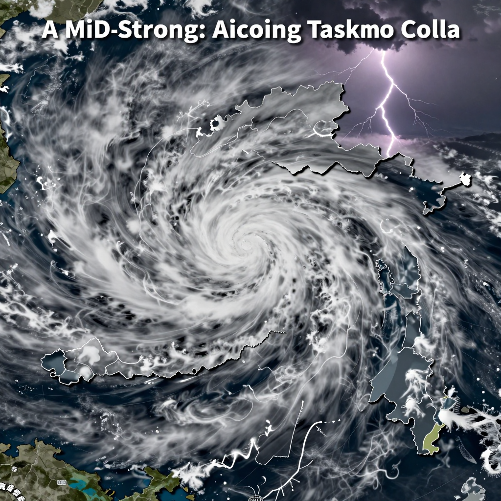
Typhoon Mekkhala is rapidly gaining strength over the eastern seas of the Philippines. Just like its name suggests, the ‘Angel of Thunder’ is approaching us—but do you know why this typhoon is so special? The key at this stage is not that it is “far away,” but rather its incredibly fast intensification in a short time and the uncertainty of its future path.
Typhoon Mekkhala originated from a tropical depression west of Guam, escalated to the 7th typhoon of the year, and has been moving northward across the distant eastern waters of the Philippines, steadily increasing in intensity. According to official reports, its central pressure is about 990 hPa, with maximum wind speeds around 24 m/s, and a strong wind radius of approximately 260 km. Its general movement is toward the west to west-northwest. In other words, although it is still distant from the Korean Peninsula, the crucial point is that it is a “developing typhoon on the move.”
There are three main reasons why this typhoon is attracting especially close attention.
- Clear signs of intensification are expected. Forecast scenarios indicate that within days, the central pressure could drop further and maximum wind speeds could surge to the 30–40 m/s range. It’s difficult to simply assume “a weak typhoon will just pass by.”
- Approach to the eastern waters of Taiwan is highly likely. Most forecasts agree on a broad northward trajectory close to the eastern seas of Taiwan, making what happens afterward—whether it will bend toward southern China or veer further north—a critical point to watch.
- It could be a variable in the monsoon pattern. Even if it doesn’t make landfall directly, the hot, humid moisture supplied from its outer bands, when overlapping with frontal zones, can sharply intensify rainfall. This is why the equation “the typhoon’s path misses us = safety” does not always hold true.
Its name is also striking. Mekkhala, submitted by Thailand, means the ‘Angel of Thunder.’ Just like the fierce thunder and storms the name evokes, Typhoon Mekkhala is a force to be wary of not only for “where it’s headed” but also “how rapidly it grows.” From the next section, we will take a closer look at its current position, strength, and potential impact on the Korean Peninsula.
Typhoon Megi’s Current Location and What Its ‘3-Day Rapid Intensification’ Means
If a typhoon starts with a central pressure of 990 hPa and is projected to surge to the “strong” typhoon category in just three days, this isn’t just a routine update—it’s a clear warning of rapidly escalating danger. So, where exactly is Typhoon Megi now, and at what speed is it intensifying?
Where Typhoon Megi Is Now: “Still Far, but Right in the Heart of Its Growth Phase”
According to official typhoon data, Megi is moving west to west-northwest in the open sea east of the Philippines (around 14–15°N latitude, 134°E longitude). It’s still quite distant from the Korean Peninsula, but the key fact is that it has entered an area highly conducive to development.
- Central pressure: Approximately 990 hPa (initial measurement)
- Maximum wind speed: Around 24 m/s
- Radius of strong winds: About 260 km
- Movement speed: Roughly 20 km/h toward west to west-northwest
In other words, Megi is at a stage where it’s simultaneously expanding in strength and reorganizing its structure, so even slight forecast changes could cause significant shifts in its area of impact.
The Scary Reason Behind the Rapid Drop from “990 → 960 → 955 hPa”
A typhoon’s intensity becomes dramatically noticeable through a combination of pressure drop and wind speed increase. Forecasts indicate Megi is very likely to follow this explosive development path over the next few days:
- 21st–22nd: Central pressure near 980 hPa, maximum winds reaching 27–29 m/s
- Around 22nd: Pressure dropping to about 960 hPa, with winds intensifying to around 39 m/s
- By the 23rd: Potential peak intensity at 955 hPa and maximum winds near 40 m/s
The critical point isn’t just the numbers themselves, but the fact that the typhoon’s energy level is shifting dramatically over a very short time. Each step up in intensity means:
- A greater risk of wind damage,
- An expanded radius of strong winds, and
- Most importantly, a wider outer rainband reach—making even a distant pass capable of unleashing heavy rain and strong gusts.
What to Watch Right Now: Not Just Location, But “Expansion” and “Turning Points” in the Track
Current scenarios commonly suggest Megi will approach the sea east of Taiwan. As it nears this crucial zone, two key factors become decisive:
- How quickly does the radius of strong winds expand?
- Once it grows to “medium-strength” size, even a miss by the center can still bring heavy impacts.
- Will the storm turn northward near Taiwan, or curve westward?
- This decision point drastically affects whether the Korean Peninsula will see indirect impacts like heavy rain, gusty winds, or rough seas.
In summary, Typhoon Megi is no longer “too far to worry about”—it’s right in the middle of a rapid intensification phase, gearing up to become a major storm. From now on, the smartest way to keep track is not just by watching its location, but also monitoring how fast its strength increases and how the radius of strong winds expands.
Typhoon Megkhala’s Path: Heading Toward the East Sea of Taiwan—Will It Affect the Korean Peninsula?
The path of the still uncertain Typhoon Megkhala remains a tense question mark: will it linger near Taiwan or move northward to impact the Korean Peninsula? What fate awaits us? At this stage, what matters most is not to assume “where it will go” but to understand that the common consensus is it will reach the east sea near Taiwan, and what happens after that is the real crossroads.
The ‘Common Route’ of Typhoon Megkhala — Approaching the East Sea of Taiwan
Synthesizing current forecasts, Megkhala is moving along a broadly consistent path:
From east of the Philippines → northeast of the Philippines → near the east sea of Taiwan.
In short, approaching the east sea of Taiwan is a highly probable scenario, and as the typhoon strengthens along this route, surrounding waters (near Taiwan and the Ryukyu Islands) can expect strong winds and high waves first.
Typhoon Megkhala’s Critical ‘Variable Zone’ — Will It Stall Near Taiwan or Push Northward?
The crux lies once the typhoon reaches near Taiwan. At this point, the path can diverge depending on surrounding pressure systems (notably the position and expansion of the North Pacific High and upper-level wind patterns).
Scenario A | Shift westward, affecting southern China/Taiwan then weakening
The typhoon passes near Taiwan but moves further inland into China and weakens.
In this case, the Korean Peninsula’s chance of a direct landfall decreases, though depending on monsoon fronts and moisture influx, indirect rainfall (rain clouds) may still affect the region.Scenario B | Turning northward east of Taiwan (East China Sea and South Sea factors)
If a path opens northward near Taiwan, the typhoon could approach the southern seas near Korea or pass through eastern seas, intensifying rain and wind particularly on the southern and eastern coasts.
Here, the scale of damage depends less on “landfall or not” and more on approach distance, speed, and timing overlapping with monsoon fronts.
Key Checkpoints for Typhoon Megkhala’s Impact on Korea — ‘Indirect’ Effects May Be More Realistic Than ‘Direct’
Though the Korean Peninsula is still some distance from the typhoon center, these conditions could rapidly increase the felt impact:
- Shifts in the edge of the North Pacific High: Its positioning could steer Megkhala westward or northward.
- Monsoon front and moisture supply: If warm, humid air drawn by the typhoon joins the monsoon front, the risk of heavy localized rain rises—even without direct landfall.
- Maritime factors (waves and storms): Even a distant passage can cause rough seas near the coast, impacting navigation and aviation ahead of stronger winds or rainfall.
In conclusion, whether Typhoon Megkhala stalls or veers westward after reaching east of Taiwan, or instead pushes northward, is the decisive factor for its impact on Korea. Rather than jumping to conclusions now, the safest approach is to closely monitor updates focusing on whether the track opens northward.
Encounter with the Monsoon: Why Typhoon Megi Becomes Even More Dangerous
What happens when a typhoon meets the already rain-soaked monsoon front? The so-called ‘indirect impact’ brings a powerful threat of torrential rain and strong winds that cannot be taken lightly. The key is not whether the typhoon “makes landfall” on the Korean Peninsula, but how much moisture it pumps into the monsoon front and how long it holds the rain clouds in place.
How Typhoon Megi’s Moisture Supply Reactivates the Monsoon Front
A typhoon is a massive reservoir of heat and moisture. As Typhoon Megi moves northward toward the seas east of Taiwan and gains strength, hot and humid air from the south can surge in strongly.
When this moisture merges with the monsoon front, the front suddenly regains vitality, causing the rain cloud formation to thicken and creating conditions for heavy downpours in a short time.
- Moisture pulled up by the typhoon → flows into the monsoon front
- Strengthening of rain cloud bands along the front → increased chance of localized intense rainfall
- Once heavy rain begins, the same area faces a growing risk of repeated downpours
Even If Typhoon Megi Stays Far, the ‘Outer Rain Clouds + Front’ Combo Is Dangerous
Even if the typhoon doesn’t directly approach Korea, its outer rain clouds overlapping with the monsoon front can cause widespread and intense rainfall. It’s easy to let your guard down because it doesn’t feel like a typical typhoon event, but in reality, the worst damage can come from such indirect impact zones.
The danger grows especially when these conditions combine:
- The monsoon front stalls over one area
- Typhoon’s outer rain clouds continuously stimulate the front
- The ground is already weakened by previous heavy rain, increasing risk of landslides and flooding
Wind as a Factor: Strong Gusts Make the Rain Even More Hazardous
Once inside Typhoon Megi’s influence, wind becomes a serious issue alongside heavy rain. Strong winds do more than just discomfort—they amplify the damage caused by rain.
- Wind disrupting drainage flow can worsen urban flooding
- At sea, rising waves and swells raise the risk of coastal safety accidents
- Structural damage to signs, greenhouses, and temporary facilities can occur simultaneously with the rain
Conclusion: For Typhoon Megi, Timing with the Monsoon Is More Crucial Than Landfall
In summary, even if Typhoon Megi doesn’t make direct landfall in Korea, the risk soars dramatically the moment it encounters the monsoon front. Going forward, don’t just watch its “path”—make sure to check the location of the monsoon front and how long the rain clouds linger to stay safe.
How to Prepare for Typhoon Megi: Smart Strategies to Protect Your Life
Though it’s not yet confirmed whether Typhoon Megi will make direct landfall, the most dangerous mindset is the complacent “It’ll be fine this time.” Typhoon Megi’s path can shift slightly, drastically changing the impact of rain, wind, and waves. When combined with the monsoon season, even indirect effects can cause significant damage. Now is the time to move beyond “worrying” and start following a practical checklist you can implement right away in daily life.
Typhoon Megi Tip 1) Switch to ‘short and frequent’ information checks
- Check the meteorological agency’s typhoon updates 2–3 times daily (before work, at lunch, after work) to monitor changes in path, intensity, and wind radius.
- Don’t disable local government emergency texts; set a family or friends rule to share any received alerts immediately.
- Use SNS summaries only as references, but base all decisions strictly on official information.
Typhoon Megi Tip 2) At home, prioritize ‘drainage’ and ‘falling object’ inspections first
- Ensure leaves, dust, and debris aren’t clogging drainage holes and veranda drains—most flooding starts here.
- Move or firmly secure items on windowsills, outdoor units, and railings (flowerpots, brooms, camping gear, etc.) indoors.
- Fold or securely tie down any loose structures like old signs, awnings, or drying racks to prevent secondary damage.
Typhoon Megi Tip 3) Reschedule travel plans ‘in advance if possible’
- On days with rain and wind together, the best defense is to avoid unnecessary outings and long drives.
- Coastal areas, breakwaters, and riverside paths can be dangerous—even when the wind feels mild. Peripheral storm clouds and surf waves can strengthen suddenly without warning.
- If travel is essential, make sure you have detour routes (avoiding flooded areas) and public transit options ready.
Typhoon Megi Tip 4) Minimum ‘daily survival kit’ for power outages, water cuts, and isolation
- Keep flashlights, power banks, and charging cables visible and fully charged in advance.
- Stock up on drinking water, easy meals, and essential medicines—not a giant kit, but at least enough for 2 days, providing both peace of mind and practicality.
- High-rise residents should consider placing emergency lights near the front door, as elevators may stop running.
Typhoon Megi Tip 5) For vulnerable environments (semi-basements, lowlands, rural areas), ‘preemptive action’ is key
- Check sandbags, drainage pumps, and evacuation routes early as forecasts worsen for semi-basements and low-lying areas.
- Farmers, aquaculture operators, and fishermen should prioritize securing facilities, clearing drains, and early evacuation before the typhoon arrives.
- In areas with a history of flooding or landslides, the safest approach is not “It’ll be okay this time” but to act even faster than before.
Typhoon Megi Tip 6) Final takeaway: Damage depends less on ‘strength’ and more on ‘timing + path + accumulated rainfall’
Even if Typhoon Megi doesn’t make direct landfall in Korea, its overlap with the monsoon front can trigger heavy localized rain and strong winds. Today, instead of focusing solely on whether it will hit land, start tackling the risks you can immediately reduce in your neighborhood (drainage, securing objects, movement, and power outage preparations) one step at a time.
Comments
Post a Comment