 \n
Cheonggyecheon: A Living History and Space of Change in Downtown Seoul
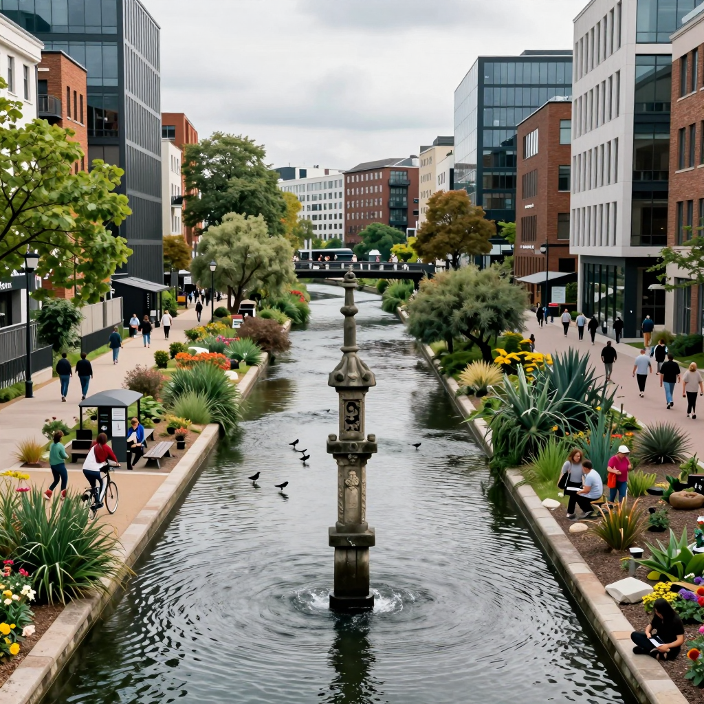
How has Cheonggyecheon embraced the life and history of the city from the Joseon Dynasty to the present day? Stretching 10.9 kilometers through the heart of Seoul, this waterway holds layers of time that cannot be captured by simply calling it a “beautiful walking path.” It has been a practical river for the capital, a shadow of industrialization, and today, it stands at the forefront of urban regeneration and climate discourse.
Cheonggyecheon’s Identity Across the City: More Than Just a Walking Trail
Spanning east to west through Jongno and Jung-gu districts of Seoul, Cheonggyecheon connects iconic neighborhoods like Gwanghwamun, Jongno, Euljiro, and Dongdaemun, forming a key pedestrian axis. Its significance goes beyond its 10.9 km length:
- A urban oasis perfect for daytime strolls
- A stage of cityscapes where building lights meet waterside at night
- And above all, a laboratory of public space showcasing Seoul’s continual transformation
Cheonggyecheon in the Joseon Era: Memories of a ‘Stream’ That Governed Water and the City
Rather than a romantic waterway, Cheonggyecheon in Joseon times functioned as a practical river channeling rainwater and daily water use for the capital. The priority then was not ‘scenery,’ but water management, symbolized by the water gauges (supyo, 水標) that monitored water levels.
The city measured and recorded water heights to predict floods, and Cheonggyecheon was the very site where this water management system operated. Beneath the path we walk today lies a longstanding question: “How does the city handle water?”
Cheonggyecheon During Industrialization: A Hidden Stage of Life Beneath Elevated Roads
As time passed, Cheonggyecheon’s image changed drastically. During industrialization and urban expansion, people gathered under the overpasses, turning the area into a backdrop for urban poverty and inequality. The shantytowns and dense slums that formed along Cheonggyecheon, along with grassroots efforts to support them, offer crucial insight into “Seoul before regeneration.”
Looking at today’s tidy waterside, one question emerges more clearly than ever: Who made the city safe, and who was welcome in this space?
Cheonggyecheon After Restoration: A 10.9km Urban Regeneration Icon and Its Ongoing Debates
The restoration project in the 2000s turned Cheonggyecheon into a globally recognized symbol of urban regeneration. The elevated highway was removed, the stream restored, and the downtown area was redesigned from a ‘car-centric’ to a ‘pedestrian-centric’ environment.
Yet Cheonggyecheon is always accompanied by debate. Practical issues like the artificial water circulation system, maintenance costs, and changes in the surrounding business districts reveal that “restoration does not mean completion.” This waterway flows with both beauty and questions.
Truly enjoying Cheonggyecheon goes beyond simply ‘walking its path.’ Even when treading the same trail, reflecting on Joseon’s water management, the shadows of industrialization, and the light and shadows of regeneration allows the city of Seoul itself to appear transformed.
Where Cheonggyecheon’s Water Meets the City: A Historical Tale of Water Management
The measurement of water levels in Cheonggyecheon, beginning with the supyo (water gauge) in 1441, was far more than just simple record-keeping—it was the core of urban governance. Do you know its secret? Behind the serene strolls we take along today’s “urban waterways” lies a sophisticated city technology designed to read, predict, and control water.
Cheonggyecheon Supyo: The ‘City’s Ruler’ Measuring Water Height
In the Joseon Dynasty, Cheonggyecheon was not a romantic landscape but a functional stream collecting the city’s rainwater and sewage. The most critical challenge was clear: how to prevent flooding and protect the capital. The device introduced for this purpose was the supyo.
- The supyo was first installed in 1441 (the 23rd year of King Sejong’s reign).
- Pillars engraved with measurement marks were erected west of Majangyo Bridge in Cheonggyecheon and along the Han River to gauge water levels.
- Han River levels were measured by designated officials who reported to government offices, eventually leading to the creation of a dedicated role called ‘supyo keeper’.
In short, the supyo was not merely a marker but a data device crucial for administration. Changes in water height signaled urban safety, transportation (ferry operations), taxes and goods transportation, and even construction plans.
What ‘3 Cheok, 6 Cheok, 9 Cheok’ Reveal: Cheonggyecheon’s Benchmarks Were Policy Statements
The supyo that remains today dates from 1833, carved from granite, and its measurement marks were not only for “recording” but also served as standards for “judgment.”
- 3 cheok: Low water level (very little water)
- 6 cheok: Normal level
- 9 cheok: Flood risk
What makes this system fascinating is that the supyo didn’t just tell you how many centimeters the water rose; it functioned as an early warning system signaling a shift in the city’s status. Water height was a decision-making trigger, and Cheonggyecheon was the frontline stage where that data was most visible.
Why Managing Cheonggyecheon’s Water Matters Again Today
The story of the supyo is not a relic of the past but reshapes how we view Cheonggyecheon today. Facing climate challenges like torrential rain, flooding, and heat islands, cities now handle water not as mere “scenery” but as a system requiring management once more.
When you walk along Cheonggyecheon, don’t just admire its sculptures and bridges—ask yourself:
- How has this city historically measured its water?
- Who measured it, by what standards, and how did those measurements translate into actions and policies?
- Could today’s sensors, CCTVs, and disaster alerts essentially be modern-day supyo?
The supyo of Cheonggyecheon tells us this: “The city never saw water as mere romance.” And now, in the age of climate crisis, that perspective has once again become our reality.
From Cheonggyecheon Shantytown to a Global Symbol of Urban Regeneration: The Two Faces of Cheonggyecheon
For those who remember Cheonggyecheon in the 1970s and ’80s, this place was less of an “urban stream” and more like a shantytown beneath the overpass and a site of livelihood. Yet, just a few decades later, Cheonggyecheon became known worldwide as an icon of urban regeneration that cities around the globe benchmark. How did the very same place come to wear such drastically different faces? The answer lies less in the “restoration” itself and more in what was revealed and what was erased during the process.
Cheonggyecheon’s Past: Life Crowded Beneath the Overpass
During the industrialization period, the area around Cheonggyecheon attracted people with unstable housing and jobs, becoming one of the city’s darkest shadows. At that time, Cheonggyecheon was not merely a “backward area” but a real-life demonstration of how poverty occupied urban space.
Particularly notable was the Hwalbin Church, established in 1971, which served as a hub for caring for and assisting the impoverished residents around Cheonggyecheon. This reminds us that the area was not just a slum but a place where a network of social care and survival existed.
Cheonggyecheon’s Present: A Stage Symbolizing a Walkable City
The restoration of Cheonggyecheon in the 2000s marked a turning point for Seoul’s urban policies. By demolishing the overpass and restoring the waterway and pedestrian paths, the city’s center shifted from car-oriented to a people-centered flow. Since then, Cheonggyecheon has been introduced as a prime example of “successful regeneration,” representing keywords like tourism, leisure, urban branding, and urban heat island mitigation.
However, the crucial point is that Cheonggyecheon is not a “newly created space” but one overlaid upon existing lives and memories. While the regeneration undeniably transformed the cityscape, it also tended to obscure the traces of past inequalities and marginalization behind the “tidy walking paths.”
The Shadow Behind Cheonggyecheon’s Regeneration: Shadows Growing Along with the Light
The more Cheonggyecheon became a symbol, the bigger the questions behind it grew.
- The Arrangement of Memory: The shantytown and impoverished lives are often summarized as “backwardness before regeneration,” yet in reality, they were records of the city’s own problems and solidarity.
- Gentrification Debate: While environmental improvement and tourism revitalization were welcome changes, the rise in rents and restructuring of nearby commercial areas came with the cost of displacing existing small merchants and residents.
- Standards of Publicness: As Cheonggyecheon became a space accessible to everyone, it continuously finds itself tested between the ideal of “space for all” and the reality of “who can comfortably stay.”
Cheonggyecheon is thus not just a success story but a representative place showing the social exchanges and mechanisms of exclusion that occur when a city “upgrades” itself. Walking through Cheonggyecheon today means moving along the waterway while simultaneously passing through the city’s memories, policies, and the gaps that lie between them.
Cheonggyecheon Today: Evolving into a Frontline Hub for Urban Ecology and Climate Resilience
The signs that Cheonggyecheon is no longer just an "urban walking path" appear unexpectedly in small, practical scenes—namely, through policies and programs like the Urban Ecology School and the Seongdong Spring Water Warehouse. These initiatives demonstrate that Cheonggyecheon is expanding its role as a space that protects citizens amid climate disasters while also educating them.
The Moment Cheonggyecheon Becomes an ‘Urban Ecology Classroom’: The Significance of the Ecology School
Talking about ecology in the heart of the city often remains just a “pretty phrase.” However, the fact that an ecology school is being established and recognized as an operational hub along Cheonggyecheon signifies that this waterway is more than mere landscaping—it is acknowledged as an ecological corridor enabling observation and education.
- Children observe the vegetation, insects, and birds by the water,
- Adults experience the differences in urban heat, wind, and shade while walking.
Ultimately, Cheonggyecheon becomes more than an “ecology exhibit” — it turns into a living site where citizens grasp how the city restores and manages nature.
Practical Solutions for Heatwaves at Cheonggyecheon: The Message from Seongdong Spring Water Warehouse
Heatwaves are no longer just weather anomalies but have become urban disasters. In this context, the operation of Seongdong District’s ‘Seongdong Spring Water Warehouse’ (providing chilled drinking water) along Cheonggyecheon’s riverbank—including near the ecology school—is deeply symbolic. Beyond evoking a refreshing image of the waterway, it shows that Cheonggyecheon is genuinely used as a public infrastructure to reduce heat stress and dehydration risks.
Two key shifts stand out here:
- Cheonggyecheon combines shade, waterside breezes, and pedestrian routes to function as a ‘refuge’ during heatwaves,
- Local governments actively designate riverbanks as spaces for implementing climate adaptation policies.
In other words, Cheonggyecheon is becoming not just a “pleasant walking spot” but a place essential in summer.
The ‘Hope’ Cheonggyecheon Offers Citizens Is Not Grand Slogans But Practical Usability
In an era of climate crisis, the hope a public space can offer often comes not from grand campaigns but from immediately usable options. The changes Cheonggyecheon brings are clear:
- Urban pathways to endure the heat,
- Environmental education within daily life for families to learn from nature,
- Bringing disaster response into everyday life through policy in action.
In short, Cheonggyecheon today can be summarized as follows:
As cities grow hotter, waterways become not just scenery but vital urban survival mechanisms. For these mechanisms to work effectively, citizens must be able to walk, rest, and learn—they must “use” them. Cheonggyecheon is evolving precisely in this direction.
Walking Between Publicness and Social Conflict at Cheonggyecheon
Known as a “healing walkway,” Cheonggyecheon is simultaneously a stage where abnormal behavior, minor crimes, and disturbances come to light. In moments when the sound of water and lighting relax the mind, a scene unfolds where smartphone cameras and a culture of reporting operate relentlessly. This dual identity shows that Cheonggyecheon is not just a tourist spot but a testing ground for the rules and limits of urban public spaces.
How Incidents Become ‘Issues’ at Cheonggyecheon: The Paradox of Openness
Cheonggyecheon is highly accessible, has long pathways, and invites people to stay anywhere briefly. This openness maximizes rest and leisure but also creates conditions where unexpected behaviors are instantly exposed and easily spread.
- Highly visible space: Numerous gathering points like bridges, stairs, and railings quickly attract crowds
- Speed of filming and dissemination: A compressed flow from witnessing → filming → sharing on social media → news coverage
- Shifting sense of safety: Regardless of the actual risk, perceptions change rapidly, raising the question, “Is this place really safe?”
Ultimately, incidents at Cheonggyecheon are not mere one-time happenings but can be read as a way that public spaces absorb and express social tensions.
Citizen Surveillance and Safety at Cheonggyecheon: Protection or Pressure?
Events happening in the heart of the city easily become ‘public affairs.’ Especially at Cheonggyecheon, where citizen reporting and documentation move swiftly, there is an effect of enhancing safety but also side effects like invasion of privacy and stigmatization.
- Positive effects: Quick reporting, deterrence of risky behavior, securing a golden window for incident response
- Side effects: Videos stripped of context, hate frames aimed at certain groups, a pervasive feeling of “being constantly watched”
Safety is not achieved by CCTV and patrols alone. The stronger the citizen surveillance, the more public spaces transform from a ‘comfortable resting place’ to a venue of relentless behavioral scrutiny.
Freedom of Expression vs. Order at Cheonggyecheon: How Far Should It Go?
Nowadays, urban waterfronts naturally become stages for performances, YouTube filming, and other ‘expressive activities.’ The problem lies in blurred boundaries. Between art and disturbance, documentation and disruption, freedom and threat, who sets the standards and how they are applied remains in question.
- If allowance criteria are unclear, enforcement may seem selective and distrust grows.
- If regulations are too strict, Cheonggyecheon loses vitality and becomes a ‘managed exhibition space.’
- If regulations are too loose, conflicts and anxiety among users rise, driving away the vulnerable first (children, elderly, women, etc.).
Rules for public spaces should start not with a ‘list of prohibitions’ but with a minimal order and guidance everyone can accept.
The Future of Cheonggyecheon: From ‘Management’ to ‘Designing Publicness’
Cheonggyecheon’s future is not simply about installing more cameras. The core lies in designing publicness that keeps the space open to everyone while reducing anxiety.
- A rapid intervention system for risky behavior (reporting channels, on-site response protocols)
- Clear guidelines for filming, performances, and commercial activities (designated zones, time limits, noise standards)
- Inclusive management based on user diversity (lighting, signage, and rest areas designed with vulnerable groups in mind)
Cheonggyecheon is already a space where people walk, rest, and record. Whether this scene remains ‘healing’ or turns into ‘anxiety’ depends less on the incidents themselves and more on the city’s attitude toward handling those incidents.
Comments
Post a Comment