 \n
\n
2026 Typhoons: The Numbers Look Ordinary—So Why Are the Damages Getting Worse?
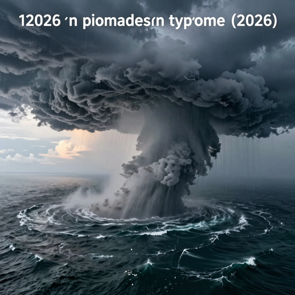
At first glance, the 2026 typhoon season does not appear significantly different from an average year in terms of the number of storms formed. Yet the actual damage patterns are anything but ordinary. The key is not how many typhoons develop, but how much rain they unleash—and over how wide an area and for how long.
A prime example is Typhoon No. 18, Saudel, which drew attention for its enormous size, spanning approximately 1,000 kilometers in diameter. The threat was not limited to powerful winds. Heavy rain was forecast across vast areas, including Zhejiang, Fujian, Hunan, and Guangdong in China, while rail services as well as air and maritime transportation were affected in some regions. The season’s biggest warning is clear: even places far from a typhoon’s center can fall within the reach of its rainbands.
The “Radius of Impact” Matters More Than the Number of Typhoons
In the past, attention focused mainly on a typhoon’s maximum wind speed and landfall location. But the typhoons of 2026 have shown a tendency to bring broad wind fields and massive rainbands, exposing even areas they never directly strike to prolonged danger.
Large typhoons, in particular, can trigger a chain of disasters:
- River flooding and urban inundation caused by prolonged torrential rain
- Landslide risks as additional rainfall pours onto already saturated ground
- Disruptions to logistics and travel caused by delays to flights, ferries, and trains
- Damage to essential infrastructure and daily life, including flooded farmland, power outages, and coastal facility damage
In other words, reports that a typhoon has weakened are not necessarily a reason to relax. Even after weakening into a tropical depression, a storm can leave behind vast amounts of moisture and extensive rainbands. In inland areas, this can lead to rain-related damage that continues for a long time.
From “Wind-Driven” Threats to “Umbrella-and-Flood” Threats
The defining feature of this year’s East Asian typhoons is rain rather than wind. A large typhoon like Saudel does not simply pass through one area with brief, intense force. Instead, it supplies enormous amounts of moisture across a wide region, fueling prolonged rainfall. At the same time, tropical depressions near Taiwan and other tropical systems moving toward southern China and Vietnam became active, making regional rainfall risks even more complex.
In situations like this, it is not enough to look only at the path of a single typhoon. The southwest winds around the storm, stationary fronts, sea-surface temperatures, and the locations of other tropical depressions must all be considered together. Even without a direct landfall, damage can become severe if rainbands linger over an area.
Why the Korean Peninsula Cannot Let Its Guard Down Even If Typhoons Veer Away
So far, the Korean Peninsula has largely avoided direct landfall by major typhoons. But that does not mean the danger has disappeared. Typhoons developing south of Japan and over the northwestern Pacific can raise wave heights in the South and East Seas, affecting aviation, shipping, and fishing activities.
Above all, the crucial question is not “Will a typhoon arrive?” but “How much rain will fall, and how long will the rainbands remain?” The 2026 typhoon season has once again underscored this simple standard. Even if the number of typhoons remains at an average level, unusually large sizes and abnormal rainfall patterns can drive the scale of damage far beyond what is considered normal.
The Trail Left by the 1,000-Kilometer Monster Typhoon Saudel: A Warning from the 2026 Typhoon Season
The assumption that only areas directly crossed by a typhoon’s center are dangerous collapsed in the face of Saudel. Its enormous cloud bands, spanning roughly 1,000 kilometers in diameter, placed nine Chinese provinces and autonomous regions under the influence of torrential rain and disrupted high-speed rail, air travel, and ferry services. The defining image of the 2026 typhoon season was not powerful winds, but rain that spread wider and lasted longer.
Saudel formed near the Truk Islands on August 19 and moved westward. On August 25 and 26, it brought torrential rain and strong winds to Okinawa and the Amami Islands before spreading extensive rain clouds across southeastern and inland China. Although it weakened into a tropical depression over inland central China on August 29, the risk of rain-related damage did not disappear easily after the storm weakened.
A Danger Zone Wider Than the Storm’s Center
The key to Saudel was its overwhelming size, something that cannot be explained by central pressure or peak instantaneous wind speeds alone. Heavy-rain warnings were issued for Zhejiang and Fujian, as well as Jiangxi, Hunan, Hubei, Guangdong, Guangxi, Guizhou, and Yunnan. Some areas even faced the possibility of intense rainfall of 20 to 50 millimeters per hour.
Typhoons of this scale can continuously supply moisture to areas far from their centers. As a result, flooding, landslides, and submerged roads can occur not only along the coast but also inland. This means that focusing solely on the point where a typhoon makes landfall is not enough to fully assess the danger.
Saudel was less a “powerful typhoon” than a “massive rain-cloud system” that kept a wide region soaked for an extended period.
Torrential Rain That Halted Transportation and Logistics
Within Saudel’s sphere of influence, high-speed rail services were disrupted, while flights and ferry operations in Hong Kong and southern China were also affected. The typhoon’s damage went beyond structural destruction caused by strong winds—it brought the movement of people and goods to a standstill.
In areas experiencing prolonged rainfall, the ground becomes saturated with water. When additional rain falls, the risk of flooding and landslides can rise rapidly, even with relatively small amounts of precipitation. Saudel showed that attention must extend beyond the immediate aftermath of a typhoon to the possibility of secondary disasters after rainfall has accumulated.
Lessons That Remain Even Though the Korean Peninsula Was Spared
Saudel did not make landfall on the Korean Peninsula. However, the damage it left across nearby Okinawa, the Amami Islands, and southeastern China offers clear lessons for South Korea as well. Even when a typhoon’s path veers away from the Korean Peninsula, rising wave heights in surrounding waters, changes to air and maritime schedules, and the possibility of torrential rain caused by incoming moisture must be assessed separately.
Ultimately, during the 2026 typhoon season, the key question is not simply “Where will the typhoon make landfall?” How wide the rain clouds are, how long the rain lingers, and how saturated the ground already is are becoming more important factors in determining the scale of the damage.
Typhoons Atau and Bangrang in 2026: A Warning from Two Storms Lingering Over the Sea
Two typhoons have appeared simultaneously in the middle of the North Pacific, far from the Korean Peninsula and mainland China. If a typhoon does not make landfall directly, is it truly safe? Typhoons Atau and Bangrang during the 2026 typhoon season answer that question with a clear “not entirely.”
Atau and Bangrang are moving northward and northeastward, respectively, over the distant Pacific waters east of Taiwan. The likelihood of either storm making direct landfall on mainland China, Taiwan, or the Korean Peninsula is considered low. However, the fact that the two typhoons are active together across a broad stretch of ocean introduces significant variables for maritime conditions and surrounding pressure systems.
Atau: An Ocean-Bound Typhoon with a Broad Wind and Wave Field
Typhoon No. 22, Atau, is a tropical-storm-strength system moving approximately 2,560 kilometers southeast-southeast of Sendai, Japan. With a central pressure of around 992–995 hPa and maximum winds of approximately 20–23 meters per second, it is not an exceptionally powerful super typhoon. Its defining feature, however, is its broad area of wind and wave influence.
Atau is moving from north-northwest toward north-northeast along the deep waters of the North Pacific. Rather than causing major damage on land, it is more likely to affect aviation, shipping, and fishing. In particular, high waves and sudden gusts may develop over the open sea, potentially leading to route changes, vessel delays, and restrictions on maritime leisure activities.
Bangrang: The Stronger Presence in the Twin-Typhoon Pair
Typhoon No. 23, Bangrang, is classified as a medium-strength typhoon, one level stronger than Atau. Its central pressure has been observed at approximately 970–980 hPa, with maximum winds near the center of around 33 meters per second. In this so-called “twin typhoon” situation, Bangrang is maintaining relatively greater strength and moving toward the north-northeast.
Bangrang is also unlikely to directly affect mainland China or Taiwan. However, as it moves northward, it may encounter the prevailing westerlies in the mid-latitudes and turn eastward along a recurving path. Such a shift may signal the typhoon’s eventual weakening, but it can also increase wave heights and weather variability along North Pacific routes.
Not Making Landfall Does Not Mean “No Impact”
It is difficult to judge a typhoon’s danger solely by whether it makes landfall. Even typhoons passing far offshore, such as Atau and Bangrang, can create the following indirect effects:
- Stronger maritime winds and waves: Wave heights may rise in surrounding waters, including the South Sea and East Sea.
- Changes to aviation and shipping schedules: North Pacific flight routes and shipping lanes may be diverted or delayed.
- Risks along the coast: Swells and rip currents may intensify, increasing danger at beaches, breakwaters, and rocky coastal areas.
- Possible changes in pressure patterns: Moisture drawn upward by the typhoons and the surrounding pressure arrangement may indirectly influence subsequent rainfall patterns.
In other words, these two typhoons are less “landfall damage systems” than “maritime impact systems.” Conditions on land may feel relatively calm, but at sea and in the skies, they are already weather systems that warrant serious attention.
The 2026 typhoon season requires more than simply monitoring powerful winds. Broad wind and wave fields, rainbands that persist for extended periods, and the simultaneous activity of multiple tropical systems must all be taken into account. Atau and Bangrang may be passing by the Korean Peninsula, but they demonstrate that a typhoon’s presence far offshore does not mean it is completely unrelated to our daily lives.
2026 Typhoons: The Danger of “Endless Rain” Created by Multiple Systems
At the end of August 2026, East Asian skies are home to more than a single typhoon. Multiple tropical systems are moving at the same time, including TD22 near Taiwan, Narra heading toward southern China and northern Vietnam, and Atau and Wanglang far out over the North Pacific.
Even if the center of each system does not pass directly over the Korean Peninsula or a particular city, it is too soon to feel safe. The real problem is not the brief burst of strong winds from one typhoon, but the successive bands of rain clouds created as multiple systems stir up the monsoon and moisture flows.
The Rain Does Not End When the Typhoon Passes
TD22 has strengthened southwesterly winds, increasing the potential for torrential rain and strong winds across southern and central Taiwan. Narra, meanwhile, has moved toward Hainan, Guangxi, and northern Vietnam, bringing heavy rain, gusts, and transportation disruptions to coastal areas.
On top of this, Atau and Wanglang have developed over the distant North Pacific, making the marine pressure patterns and movement of moisture across East Asia even more complex. Even when a typhoon does not make landfall in a particular area, continuously drawing in surrounding humid air can cause rain clouds to pass over the same region repeatedly.
The danger depends not only on “how much rain falls at once,” but also on “how long it continues.”
Secondary Damage Fueled by Accumulated Rainfall
In this kind of multi-system environment, the total amount of rain accumulated over several days becomes more important than the rainfall on a single day. Soil that is already saturated can collapse under even a small amount of additional rain, while rivers and drainage systems may not have enough time to recover.
The following risks are particularly likely to increase:
- Landslides and mudflows in mountainous areas and along cut slopes
- Flooding in low-lying urban areas and underground spaces
- Rising river levels and overflowing waterways
- Flight and ferry cancellations, along with disruptions to port operations
- Flooding of farmland and delays in logistics
As demonstrated by the widespread torrential rainfall associated with Saudel, the defining threat of the 2026 typhoon season is not limited to strong winds. Long-lasting, widespread rainfall produced when typhoons, tropical depressions, southwesterly winds, and stationary fronts interact can lead to even greater disasters.
The Flow of Moisture Matters More Than “Twin Typhoons”
Atau and Wanglang are far out over the North Pacific, well away from Taiwan and mainland China, so their direct impacts are limited. However, the simultaneous presence of two typhoons can complicate atmospheric circulation around them.
In other words, rather than looking only at the typhoons’ central positions and deciding, “They are far away, so there is nothing to worry about,” it is important to consider the following as well:
- Whether the typhoons are strengthening southwesterly winds and the influx of moisture
- Where the stationary front is lingering
- How much the ground and rivers’ remaining capacity has already been reduced by previous rainfall
- Whether rising wave heights at sea are affecting flight and shipping schedules
With East Asia’s 2026 typhoons, it is more important to understand the unbroken pattern of rain created by multiple systems in succession or at the same time than to focus on a single powerful typhoon. Even areas slightly outside a typhoon’s projected path may suffer greater cumulative damage if they remain for a long time along the edge of the rainband.
Why South Korea Cannot Afford to Let Its Guard Down Even Though Typhoons Have Missed the Country in 2026
So far, no typhoon has made direct landfall on the Korean Peninsula. However, the fact that a typhoon’s center passes far away does not mean its impacts disappear. The 2026 typhoon season is showing a pattern in which broad rainbands and impacts at sea are more significant than direct landfalls.
Saudel has left torrential rain across southeastern China and southwestern Japan, while Etau and Bang-Lang are moving across the distant North Pacific. Although South Korea is far from the centers of these typhoons, it is difficult for the country to remain completely unaffected by changes in surrounding pressure systems and moisture flows.
Typhoons Far Out at Sea Can Still Stir the Southern and Eastern Seas
Typhoons traveling over the ocean may not bring powerful winds directly to the Korean Peninsula, but they can still generate high waves and swells. The following dangers should be closely watched in the South Sea and East Sea:
- Stronger coastal swells and rip currents
- Increased risks for small fishing boats, fishing vessels, and recreational watercraft
- Delays in port operations and restrictions on passenger-ferry services
- Flooding along coastal roads and the possibility of waves overtopping breakwaters
Even on a clear day, swells generated by a distant typhoon can roll toward the coast. That is why it is important to check wave forecasts and marine wind-and-wave information, even when no weather advisory has been issued.
Aviation and Logistics Can Be Disrupted Even Outside the Typhoon’s Path
When a typhoon remains near southern China, southwestern Japan, Taiwan, or shipping routes in the northwestern Pacific, flight and maritime schedules are often affected first. Aircraft may have to take detours, while ships may reduce speed or change course to avoid high waves.
The resulting disruptions can affect daily life more directly than many people realize:
- Flight delays and cancellations on East Asian routes
- Port congestion and delays in container transportation schedules
- Disruptions to deliveries of fresh food, components, and raw materials
- Changes to travel plans and fluctuations in airfares
In other words, even if a typhoon skirts the Korean Peninsula, South Korean travelers, importers and exporters, and the maritime transport industry may already be within its indirect impact zone.
Typhoons Also Remain a Variable Behind Autumn Torrential Rain
The defining features of the 2026 typhoon season are heavy rainfall and prolonged stays rather than strong winds. If a powerful typhoon or tropical depression supplies moisture over the seas surrounding East Asia, conditions may develop for a stationary front and low-pressure system near the Korean Peninsula to intensify.
Even without a direct landfall, the risk of torrential rain can rise when the following conditions overlap:
- Warm, humid air from the North Pacific flows into the region
- An autumn monsoon front or stationary front remains over the Korean Peninsula
- The ground and rivers are already saturated after receiving substantial rainfall
When this happens, damage is more likely to take the form of flooding, overflowing rivers, and landslides—hazards linked to accumulated rainfall—rather than sudden, destructive winds.
Do not look only at the typhoon’s center. Check the rainbands, wave heights, and pathways of incoming moisture as well.
It is certainly fortunate that the Korean Peninsula has remained outside the typhoons’ direct paths. However, the fact that a typhoon has not made landfall does not mean there has been no impact. This autumn, the most practical form of preparedness will be to keep a close eye on maritime activities, flight schedules, and torrential-rain forecasts together.
Comments
Post a Comment