Typhoon No. 21 Atsani: Named After Lightning, but Fading Away? Its True Identity and Impact on South Korea
 \n
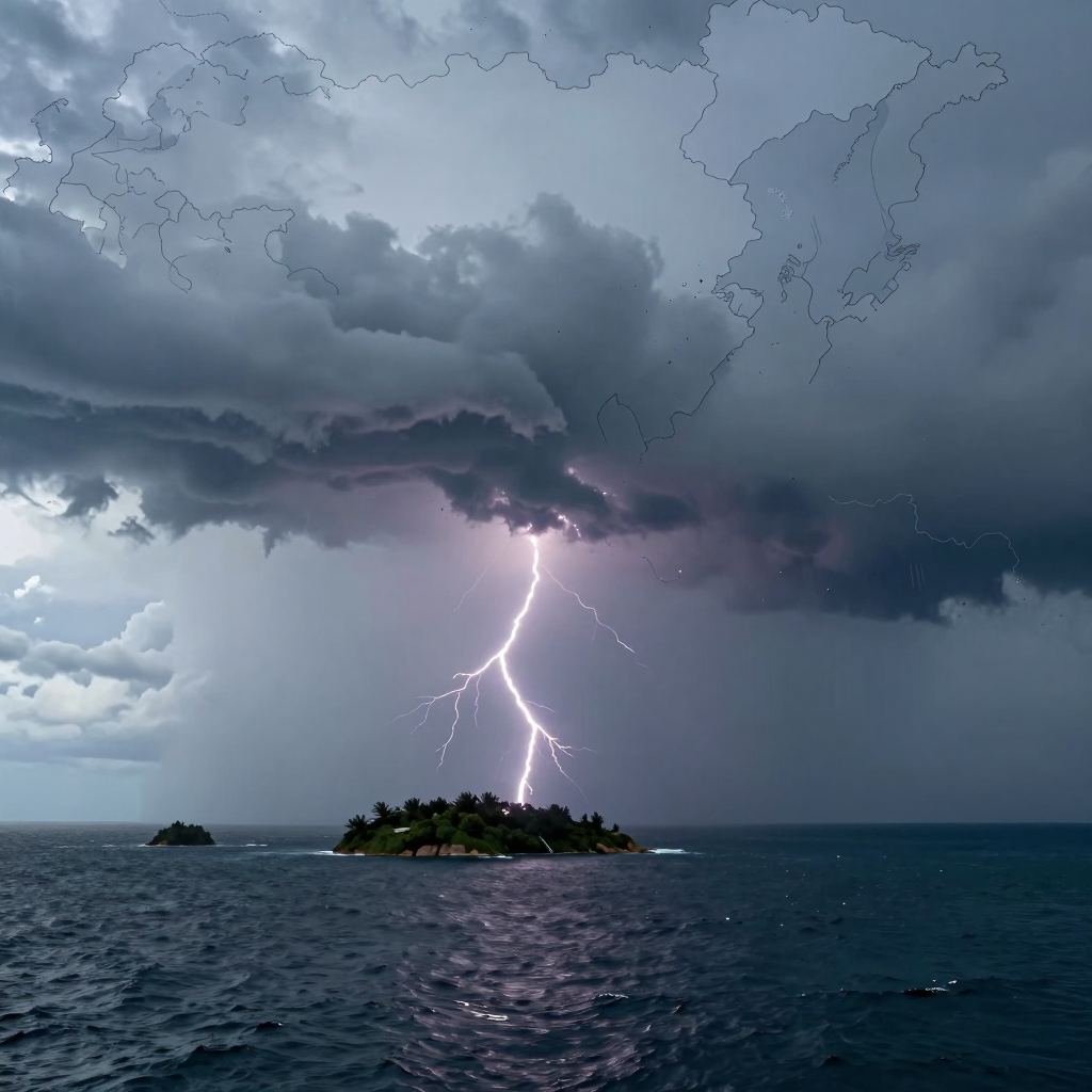
Atsani: A Typhoon That Passed Briefly Despite Its Name, “Lightning”
Typhoon No. 21, Atsani, means “lightning” in Thai. Just hearing the name can easily conjure images of fierce winds, heavy rain, and mounting tension. Yet unlike the image its name evokes, Atsani is being analyzed as a small, weak typhoon that faced conditions unfavorable to long-term survival almost immediately after forming.
Atsani formed at 9 a.m. on August 24, about 840 kilometers northwest of Guam. At the time, its maximum sustained winds were 18 meters per second, with a central pressure of approximately 998 hPa. Although it was classified as a typhoon, it had not secured enough energy to continue developing into a powerful system.
According to the forecast, Atsani will move north-northeast before turning toward the northwest. Then, about 36 hours later, on the night of August 25, it is highly likely to weaken into a tropical depression (TD) with maximum winds of around 15 meters per second over the waters southeast-southeast of Okinawa, Japan.
Its name may mean lightning, but its actual lifespan as a typhoon will be very short.
Early on, there was speculation that Atsani could strengthen into a powerful typhoon because of the high sea-surface temperatures in the surrounding waters. However, a typhoon needs more than warm seas to grow: a stable atmospheric environment, ample moisture, and weak wind shear are also essential. Atsani appears to have been unable to build strength because these conditions were not sufficiently in place. Development may have been limited by vertical wind shear—the difference in wind direction and speed between the upper and lower atmosphere—as well as the inflow of dry air.
Ultimately, Atsani is not expected to approach the Korean Peninsula and bring strong winds and heavy rain. Instead, it is more likely to briefly appear over the waters between Guam and Okinawa before weakening. At present, the likelihood of it making landfall in or coming close to South Korea is also extremely low.
That said, the typhoon’s significance does not disappear simply because of its short lifespan. In the waters of East Asia, where multiple typhoons can move at the same time, Atsani could become a minor variable affecting surrounding pressure systems and the paths of other typhoons. During this typhoon season, it is important to look beyond how strong a typhoon is and also consider how multiple tropical systems influence one another.
Atsani’s 36-Hour Journey: Weakening Off Okinawa
Although its name means “lightning,” Typhoon No. 21 Atsani is not expected to have a long journey. After forming over waters northwest of Guam, it will move north-northeast before turning northwest. However, it is highly likely to lose typhoon status before reaching waters southeast-southeast of Okinawa, Japan.
The key question is not how far it will travel, but how quickly it will weaken. Atsani is expected to weaken into a tropical depression within about 36 hours of forming.
Forecast Track by Time
| Time | Expected Location and Changes |
|---|---|
| 9:00 a.m., August 24 | Forms as a typhoon over waters approximately 840 km west-northwest of Guam |
| Daytime to evening, August 24 | Moves north-northeast while maintaining relatively weak intensity |
| 9:00 a.m., August 25 | Expected to move to waters approximately 1,020 km northwest of Guam |
| 9:00 p.m., August 25 | Expected to weaken into a tropical depression near waters approximately 930 km east-southeast of Okinawa |
At the time of formation, Atsani’s maximum sustained winds are around 18 meters per second, with a central pressure of approximately 998 hPa. Rather than intensifying significantly, it is expected to gradually lose energy, with maximum winds falling to around 15 meters per second and central pressure rising to approximately 1,000 hPa.
Heading Toward Okinawa—but Not Arriving as a “Typhoon”
Atsani’s projected track remains far from the Korean Peninsula. It will initially move north-northeast, then turn northwest toward waters southeast of Okinawa. However, the oceanic and atmospheric conditions along this route are not sufficiently favorable for development, making rapid weakening more likely than growth into a powerful typhoon.
In other words, Atsani’s approach toward the waters around Okinawa may itself mark the final stage of its journey. Rather than being the kind of storm that maintains strong winds and heavy rain for an extended period, it is more likely to be a small, weak typhoon that exists briefly before transitioning into a tropical depression.
What Its Short Track Means
For South Korea, the most important point is that the possibility of a direct landfall or significant strong winds and heavy rain is extremely low. Even after weakening, however, a typhoon can still alter surrounding pressure systems and moisture flows. Particularly when multiple tropical systems are moving at the same time, Atsani’s short journey can serve as one variable in understanding the tracks of other typhoons and weather patterns across East Asia.
In conclusion, Atsani’s 36 hours will not be a long-distance journey by a powerful typhoon, but rather a short passage beginning over waters northwest of Guam and ending with its weakening into a tropical depression over waters east-southeast of Okinawa.
Atsani Was Not Alone: In the Midst of a Relay of Typhoons
Viewed on its own, Atsani is a relatively simple story. It is weak, short-lived, and highly likely to weaken into a tropical depression over the waters southeast of Okinawa. The chances of it making direct landfall on the Korean Peninsula or bringing strong winds and heavy rain are also very low.
But at the time, the waters of the western Pacific and East Asia were not a stage occupied by Atsani alone. Saudel, Nari, Gaenari, and Atsani were all present at the same time, creating what is known as a “relay typhoon” pattern.
A single weak typhoon may be easy to forecast, but when several typhoons move through the same region, the story changes.
Why Do Multiple Typhoons Make Forecasting More Difficult?
A typhoon is not simply a single vortex with powerful winds. It is a vast tropical system whose direction and strength constantly change depending on surrounding high- and low-pressure systems, moisture over the ocean, and the flow of upper-level winds.
When several typhoons form within a short period of one another, the number of variables increases:
- The circulation of each typhoon can disrupt surrounding pressure systems and wind patterns.
- The typhoons may share or draw away moisture and energy from one another.
- The movement of one typhoon can affect the arrangement of high pressure and the track around another.
- Forecast errors can grow, including unexpectedly rapid weakening and sudden changes in direction.
Atsani drew particular attention not because of its own strength, but because of the changes in the pressure pattern it helped create alongside Typhoon No. 18, Saudel, nearby. Even as Atsani weakened while moving northwestward, it could still alter the flow of surrounding air and the distribution of moisture.
“No Direct Impact” Does Not Mean “Nothing to Watch”
Atsani was unlikely to cause direct typhoon damage in South Korea. However, the moisture and changes in pressure patterns left behind by Saudel and the other typhoons could later become indirectly connected to patterns of heat waves, tropical nights, and localized showers over the Korean Peninsula.
In other words, the key question in this situation is not simply, “Will Atsani come to Korea?” More important is how the wind paths and moisture flows across East Asia as a whole will change while multiple tropical systems are moving at the same time.
Like the meaning of its name—lightning—Atsani did not grow into a powerful, striking typhoon. Yet within the summer pressure patterns shaped by a succession of typhoons, even a weak storm can become an important piece of the puzzle—one that should never be overlooked.
Atsani: The Invisible Hand Shaping the Weather Without Ever Reaching Korea
Atsani is highly unlikely to make landfall on or come close to the Korean Peninsula. It is forecast to weaken into a tropical depression over waters southeast of Okinawa, so for now, the scenario in which the typhoon itself brings strong winds or heavy rain to Korea appears unlikely.
But does that mean it has nothing to do with us? Not necessarily. Even when its center remains far away, a typhoon can alter surrounding wind patterns and pressure systems, while also influencing the routes taken by moisture left behind by other tropical systems.
Direct Impact Is Unlikely, but Changes in the Pressure Pattern Matter
Atsani is classified as a small, weak typhoon and is expected to weaken within a relatively short period. Therefore, there is no need to fear torrential rain or strong winds over the Korean Peninsula simply because “a typhoon is coming.”
However, multiple tropical systems—including Saudel, Nangka, and Gaenari—are currently active over the waters of East Asia. When several typhoons exist at the same time, the circulation of each system interacts with the surrounding high- and low-pressure systems. This can alter not only the tracks of individual typhoons but also the routes along which moisture travels.
The key to Atsani is not the risk of a direct landfall, but its role as a variable within the broad pressure-pattern changes created by multiple typhoons.
The Link Between Heat Waves, Showers, and Moisture Left by Typhoons
As heat waves and tropical nights continue across inland areas of the Korean Peninsula, conditions remain favorable for repeated localized showers, especially during the afternoon. If the amount of warm, humid air flowing in from the southern seas increases, the atmosphere could become even more unstable.
Even if Atsani does not directly bring rain, the movements of surrounding typhoons and tropical depressions could have indirect effects in the following ways:
- Changes in moisture pathways: Hot, humid air drawn northward by other typhoons could flow toward the Korean Peninsula.
- Stronger localized rainfall: Heat and moisture accumulated during the day could combine to produce intense showers over a short period.
- A variable affecting the persistence or easing of the heat wave: Changes in the expansion and contraction of the North Pacific High, along with shifts in wind direction, could alter the intensity and duration of the heat.
- Greater forecast uncertainty: When several typhoons move simultaneously, the surrounding pressure pattern becomes more complex, making it harder to predict the timing and regional intensity of rainfall.
In particular, tropical systems such as Saudel, which is heading toward China, may affect the development of rain clouds later on through the moisture they leave behind and the disruptions they create in the pressure pattern—even without making landfall directly on the Korean Peninsula.
“No Rain” and “No Impact” Are Not the Same
A typhoon’s influence cannot be judged solely by whether it makes landfall. Even if the center of a typhoon does not approach the Korean Peninsula, the inland weather can still change if a distant tropical system increases the supply of moisture over the southern seas or alters the airflow along the edge of a high-pressure system.
That is why, when monitoring Atsani, it is better to watch for the following weather changes rather than checking its track alone:
- Whether heat-wave advisories are expanded or eased
- The likelihood of tropical nights continuing overnight
- Afternoon shower forecasts and the possibility of gusts, thunder, and lightning
- Changes in wave heights over the southern and Jeju seas, as well as the East Sea
- Track adjustments of other typhoons and forecasts for incoming moisture
Atsani is unlikely to grow into a powerful typhoon as striking as its name suggests, but amid the summer pressure patterns shaped by several typhoons moving at once, it is far from completely irrelevant. Rather than a source of direct rain and wind, it is more accurately understood as an indirect variable capable of disturbing the delicate balance between heat waves and showers.
Why Atsani’s Forecast Changed from a Possible Strong Typhoon to Early Dissipation
At first, forecasters even discussed the possibility of a powerful typhoon capable of reaching wind speeds of 160–170 km/h. However, in the latest outlook, Atsani began as a weak typhoon with maximum winds of 18 m/s, or about 65 km/h. It is now highly likely to weaken into a tropical depression within roughly 36 hours.
So why did the typhoon forecast change so dramatically?
Early Forecasts Are Based on Possibilities
Before a typhoon fully forms, conditions favorable for development—such as warm seas and abundant moisture—may be observed. At the time, analyses suggested that the tropical depression west of Guam had the potential to intensify into a strong typhoon.
However, an early forecast represents just one of several possible scenarios. Even when sea-surface temperatures are high, a typhoon cannot intensify rapidly unless the atmospheric environment continues to support its development.
A typhoon’s strength is not determined by ocean temperatures alone. Atmospheric circulation, humidity, and the direction and strength of the winds must all align.
Factors That Prevented Development: Wind Shear and Dry Air
The following environmental factors may have contributed to Atsani’s failure to intensify into a strong typhoon:
- Strong vertical wind shear: When wind direction or speed changes significantly with altitude, the typhoon’s center can become tilted. This makes it difficult for rising air currents and rain clouds to gather around the core, weakening the system.
- Inflow of dry air: Typhoons draw energy from warm, moist air. When surrounding dry air flows into the center, the development of powerful rain clouds is suppressed.
- Influence from multiple tropical systems: When several tropical systems—such as Saudel, Nara, and Gaenari—exist at the same time, surrounding pressure systems and moisture flows become more complicated. This may have created an environment in which Atsani struggled to receive a stable supply of energy.
This is an interpretation based on the currently observed weakening forecast and the general principles of typhoon development. The exact reasons for the weakening may become clearer through post-event analysis.
Despite Its Name, “Lightning,” Atsani Is Expected to Pass Quickly
Atsani is a name submitted by Thailand and means “lightning.” Its name may easily bring to mind a powerful and impressive typhoon, but Atsani is actually following a track that will see it weaken rapidly.
According to the forecast, Atsani is expected to move northwest and transform into a tropical depression over waters near the southeast-southeast of Okinawa. At present, the likelihood that it will make direct landfall on the Korean Peninsula or bring strong winds and torrential rain is extremely low.
Changing Forecasts Are Not Errors—They Are Updates
Typhoon forecasts tend to fluctuate more widely in the early stages of development. This is especially true during periods when multiple typhoons move through the region in succession—sometimes referred to as a “relay typhoon” pattern—because even small changes in surrounding pressure systems can affect a storm’s track and intensity.
Therefore, the fact that the initial possibility of a strong typhoon did not materialize does not necessarily mean the forecast was completely wrong. As more observational data becomes available, unlikely scenarios are ruled out and the forecast is adjusted to reflect the actual atmospheric environment.
Ultimately, the case of Atsani shows that checking the latest weather information and keeping up with ongoing forecast updates is more important than focusing on a typhoon’s name or its initial outlook.
Comments
Post a Comment