 \n
\n
Typhoon No. 18 Saudel: A Storm’s Breakneck Run from the Waters Near Guam
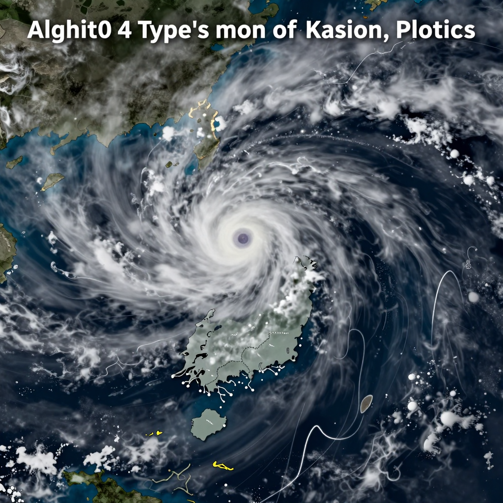
At 3 a.m. on August 21, Typhoon No. 18 Saudel was observed over the ocean approximately 530 kilometers east of Guam. Its central pressure stood at 990 hPa, with maximum sustained winds of around 24 meters per second. Judging only by its initial strength, it was closer to a “weak typhoon.”
But what matters more than its current intensity is the sea it will cross next. Saudel is moving north-northwest along the warm waters of the western Pacific, rich in heat energy. Warm seas supply fuel to a typhoon, while falling central pressure can bring even stronger winds and heavier rainfall.
Just one day later, on August 22, forecasts indicated that it could intensify into a “very strong typhoon,” with central pressure dropping to 945 hPa and maximum winds reaching around 45 meters per second. Japanese weather information also projects that, around August 25, Saudel could develop into a powerful system near the waters around Okinawa and Amami, with instantaneous wind speeds potentially reaching 65 meters per second.
The reason a typhoon that starts out weak can grow into a threatening system within just a few days lies in the combination of high sea-surface temperatures and favorable atmospheric conditions.
This is also why Saudel is being singled out as the biggest variable in next week’s weather across the Korean Peninsula. For now, it is more likely to head toward southern China or Japan than directly toward the Korean Peninsula. However, as a typhoon grows in size, its area of influence expands even if its center passes far away. Swells could intensify in the southern seas, around Jeju, and in the East Sea, while the inflow of moisture surrounding the typhoon could increase the risk of localized torrential rain.
Ultimately, Typhoon No. 18 cannot be judged simply by whether it “makes landfall in South Korea.” The direction in which it turns near Okinawa—and how it interacts with the high-pressure system over the Korean Peninsula—is expected to determine next week’s turning point between lingering heat and wind-driven rain.
Typhoon No. 18 Saudel: A Very Strong Typhoon Headed Toward Okinawa
Saudel is still classified as a “weak typhoon.” However, this phase is not expected to last long. As it moves northward over the warm waters of the western Pacific, it is rapidly gaining energy—and its strength could change dramatically within just a few days.
According to the forecast, Typhoon No. 18 Saudel could intensify into a “very strong typhoon” around August 22, with a central pressure of 945 hPa and maximum winds of 45 m/s. Some forecasts from Japanese weather services suggest that its central pressure could drop as low as 935 hPa, while its instantaneous maximum wind speed could reach 65 m/s.
From the Waters North of Guam to the East of Okinawa
Saudel’s initial path is relatively clear. The typhoon, which formed over the waters east of Guam, is expected to move north-northwest to northwest and pass north of Guam over the weekend. After that, it will likely approach the waters east of Okinawa.
- August 21: About 530 km east of Guam, still at the weak typhoon stage
- Around August 22: Could intensify into a very strong typhoon with a central pressure of 945 hPa and maximum winds of 45 m/s
- August 24–25: Approaches the waters east and southeast of Okinawa, Japan
- Around August 26: Could draw close to the waters near Okinawa, with possible impacts across southwestern Japan
The key concern is that Saudel may not simply continue moving north—it could maintain its peak strength near Okinawa. Since this area is likely to directly affect maritime transportation, flights, and fishing activities, travelers in the region and related industries should remain alert.
The Next Turning Point in Its Track: The ‘High-Pressure System’
The forecast track to the vicinity of Okinawa is relatively consistent, but what happens afterward remains uncertain. A high-pressure system around the Korean Peninsula and Japan lies directly in the typhoon’s path.
If the high-pressure system holds firm, Saudel is more likely to be pushed westward toward southern China. On the other hand, if the high-pressure system weakens or retreats northward, the typhoon could turn toward Japan and move northeastward.
For now, the most important question is not whether Saudel will make landfall in South Korea. Instead, attention should focus on which direction the typhoon will turn after approaching Okinawa. A small shift in its track after it strengthens into a very strong typhoon could alter wave, rain, and wind patterns not only across southwestern Japan but also around the Korean Peninsula.
Is the Claim That Typhoon No. 18 “Saudel” Is Heading Straight for Korea True?
Posts claiming that Typhoon No. 18, Saudel, is rapidly moving northward straight toward the Korean Peninsula are spreading quickly online. However, the Korea Meteorological Administration’s current assessment is clear: information definitively stating that the typhoon is “heading straight for Korea” is close to fake news.
At present, most numerical weather prediction models place greater weight on the possibility that Saudel will move toward southern China rather than the Korean Peninsula. Some models suggest that it could turn toward Japan, but it is difficult to interpret this immediately as a forecast that the typhoon will make landfall on the Korean Peninsula.
What is needed now is not sensational speculation about landfall, but a calm review of the storm’s path based on official forecasts.
Why Can’t the Track of Typhoon No. 18 Be Determined Yet?
The key factor determining a typhoon’s track is the strength and position of the high-pressure system around the Korean Peninsula. In particular, Saudel’s direction could change depending on how far the strong high-pressure system maintaining the heat wave manages to hold its ground.
If the high-pressure system remains strong
The typhoon is more likely to be pushed away from the Korean Peninsula toward southern China or the waters to the west.If the high-pressure system weakens or retreats northward
The possibility increases that the typhoon could “recurve,” turning northeastward over the waters south of Japan. In that case, it could also affect the weather over waters near the Korean Peninsula and the East Sea.
Typhoons do not simply move in one direction. The surrounding high-pressure system, westerly winds, sea-surface temperatures, and the positions of other low-pressure systems and weather fronts all interact. Especially when looking several days ahead, small changes in the atmosphere can lead to major differences in the typhoon’s track.
Indirect Effects Matter More Than the Possibility of Landfall
At present, the likelihood that Typhoon No. 18 will make direct landfall in Korea is not high. However, the absence of landfall does not mean there will be no impact.
If the typhoon moves northward as far as areas near Okinawa or the waters south of Japan, the Korean Peninsula could experience the following indirect effects:
- High waves and swells along Jeju, the southern coast, and the East Coast
- Localized torrential rain caused by the interaction of the typhoon’s moisture and weather fronts
- Continued late-season heat or increased rain and strong winds, depending on the typhoon’s position
- Greater uncertainty affecting the operation of maritime transportation, flights, and fishing activities
In other words, the key question right now is not simply, “Will it make landfall in Korea?” The weather across the Korean Peninsula next week could vary depending on how close Saudel approaches to the surrounding seas and how strongly it disrupts the nearby high-pressure system.
Now Is the Time to Check Official Forecasts Frequently
Typhoon information can change significantly within a single day. Particularly when a typhoon is rapidly strengthening, it is safer not to rely on a single long-range outlook, but to check the Korea Meteorological Administration’s latest typhoon updates and marine weather advisories frequently.
Rather than becoming alarmed by the claim that the typhoon is “heading straight for Korea,” the most realistic response is to prepare based on the current assessment: the possibility of direct landfall is low, but the possibility of indirect impacts remains open.
How Typhoon No. 18 Saudel Will Shape Next Week’s Weather on the Korean Peninsula: Lingering Heat or Wind and Rain?
If Saudel passes far away, temperatures around 30–35°C may continue, bringing a lingering late-summer heat. But the moment it approaches the waters surrounding the Korean Peninsula, next week’s weather could change completely. The key factor determining whether the heat wave continues or wind and rain arrive is the final track of Typhoon No. 18.
If the Typhoon Passes Far Away, the Heat Wave and Tropical Nights May Continue
If Saudel continues moving toward southern China, as it is currently expected to do, the Korean Peninsula is likely to remain outside the typhoon’s direct sphere of influence. In that case, strong high pressure over the peninsula may persist, pushing daytime temperatures up to around 30–35°C. The late-summer heat could continue, with nighttime temperatures also remaining slow to fall.
However, the weather will not necessarily be completely stable just because the typhoon is far away. High waves and swell waves carried in from distant waters may affect the southern sea, Jeju, and the east coast, so caution will be necessary for coastal activities and ship operations.
If It Moves Closer to the Korean Peninsula, Rain, Wind, and Falling Temperatures May Follow
On the other hand, if Typhoon No. 18 turns northeast toward the waters south of Japan or the East Sea and approaches the Korean Peninsula, conditions could change rapidly. Even without making direct landfall, the typhoon could draw in strong moisture and winds, bringing heavy rain and powerful gusts, particularly to the southern regions and the east coast.
The following changes may be expected:
- Daytime temperatures may fall as cloud cover increases
- High waves and strong winds may develop, especially along the southern coast, Jeju, and the east coast
- Localized torrential rain may occur as the typhoon’s moisture interacts with a weather front
- The heat wave may ease, giving way to humid and overcast conditions
In other words, even if the center of the typhoon avoids the Korean Peninsula, the weather people feel on the ground could still change dramatically.
The Key to Next Week Is Not ‘Direct Landfall’ but ‘Distance’
At this stage, the important question is not simply whether “the typhoon will make landfall in Korea.” How close Saudel passes to the Korean Peninsula will determine the rain, wind, waves, and temperatures.
If the typhoon stays far away, high pressure may hold its ground and prolong the late-summer heat. If it moves closer, rain and wind may push the heat aside. Therefore, next week, it is advisable to check not only the projected track but also the Korea Meteorological Administration’s latest information on the typhoon’s position, radius of strong winds, and marine weather advisories.
The conclusion for next week’s weather on the Korean Peninsula is simple.
If Typhoon No. 18 Saudel stays far away, expect lingering heat; if it comes closer, expect wind and rain.
Is Typhoon No. 18 Saudel a Warning Sign of Climate Change in the Second Half of the Year?
Looking only at Saudel’s track, it may seem like a routine typhoon story. But behind the development of Typhoon No. 18, which rapidly gained strength over the warm waters east of Guam, lies a much larger climate signal: above-average sea surface temperatures and the possibility of a strong El Niño.
Warmer Seas Make Typhoons Develop Faster and Become Stronger
The energy source of a typhoon is warm seawater. The higher the temperature at the ocean’s surface, the more moisture and heat are supplied to the atmosphere, allowing a typhoon to intensify rapidly within a short period of time.
Saudel, too, is expected to pass through the warm waters of the western Pacific and could develop from a weak typhoon into a system of very strong typhoon intensity. What matters is not simply the fact that “one powerful typhoon has arrived.” The greater concern is that similar cases of rapid intensification could continue to occur.
The warmer the ocean becomes, the more favorable the conditions are for typhoons to develop later, faster, and more powerfully.
How El Niño Changes Where Typhoons Form and Where They Move
When a strong El Niño occurs, atmospheric and oceanic circulation across the western Pacific also changes. The location where typhoons form, the timing of their northward movement, and even their paths toward Japan, China, and the Korean Peninsula can all deviate from normal patterns.
For this reason, Saudel’s future track cannot be judged simply by whether it makes landfall on the Korean Peninsula. Even if it heads toward southern China, its moisture and offshore waves could affect weather in South Korea. If it turns toward Japan, the risk of rain, strong winds, and long-period swells along the southern and eastern coasts could increase.
The Real Warning Is Not Whether It Makes Landfall
When typhoon news breaks, attention usually focuses on one question: “Will it reach Korea or not?” But the core of the climate risk in the second half of the year is not limited to a direct landfall.
- Localized torrential rain caused when moisture around the typhoon collides with a stationary front
- Long-period swells and heightened maritime safety risks amplified by the indirect effects of an offshore typhoon
- Heat waves and tropical nights that could last longer depending on the typhoon’s track
- Weather-related risks reflected in agricultural products, logistics, and energy demand
In other words, Saudel could affect daily life and industry even without passing directly over the Korean Peninsula. More important than the typhoon’s center position is the pattern of rain, wind, and heat that it disrupts and reshapes.
In the Second Half of the Year, Watch for ‘Recurring Patterns,’ Not Just ‘One Typhoon’
Saudel could become one example through which to read the climate patterns of the second half of this year. In an environment where warm waters, the possibility of El Niño, an uncertain track, and rapid changes in intensity appear at the same time, we should look beyond a single typhoon forecast and pay attention to the warning signs that could repeat.
The weather ahead is no longer simply a matter of sunshine or rain. It is becoming a question of complex climate variables—whether late-season heat will continue, or whether typhoon-driven rain and winds will usher in the seasonal transition earlier. This is where Saudel’s real warning lies.
Comments
Post a Comment