Typhoon Saudel, the Season’s 18th Storm, Has a Clear Path Ahead—Could It Affect the Korean Peninsula?
 \n
\n
Typhoon No. 18 Saudel: A New Wild Card After 17 Storms Veered Away
The 17 typhoons that formed this year did not head directly toward the Korean Peninsula. They either moved out over the waters east of Japan or traveled toward southern China and Southeast Asia, leaving South Korea without any significant damage from a typhoon making landfall.
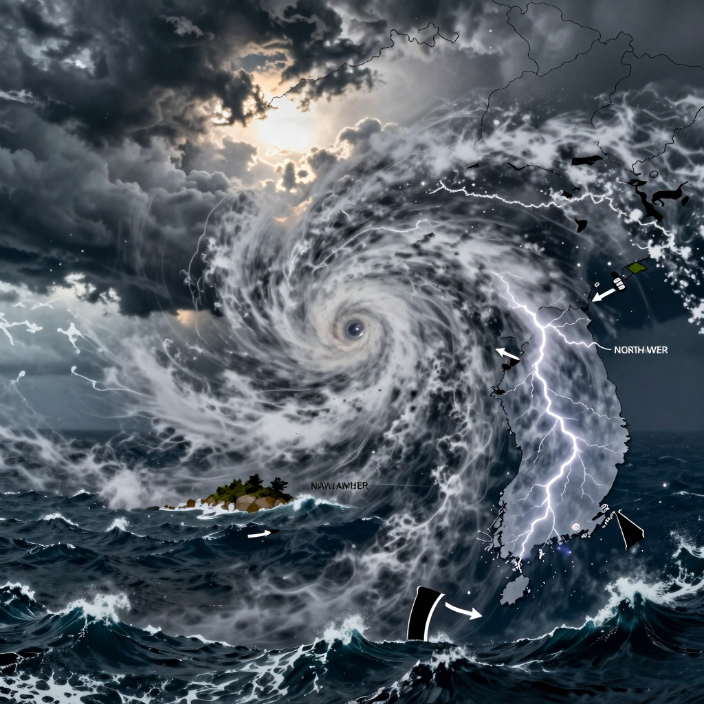
But Typhoon No. 18 Saudel (SAUDEL), which formed over unusually warm waters near Guam, is different. It is rapidly strengthening as it moves northwest and is expected to reach waters near Okinawa, Japan, early next week. In particular, there are growing concerns that it could develop into a very powerful typhoon as it passes through the warm waters of the western Pacific, prompting all of East Asia to closely monitor its track.
The focus now is not simply on whether it will make landfall on the Korean Peninsula. The key question is whether, after moving north toward Okinawa, Saudel will head for eastern China, pass through waters southwest of Japan, or veer in a direction that affects weather around the Korean Peninsula.
This is also why some forecasts and broadcasts have used the phrase “the typhoon’s path has opened.” A typhoon’s track depends on the position of the North Pacific High, mid-latitude troughs, and the flow of the westerlies. At present, these atmospheric patterns are becoming more complex than before, making it difficult to predict Saudel’s subsequent path with confidence.
One fact, however, is clear: Typhoon No. 18 Saudel is the first typhoon this year with the potential to significantly alter weather patterns around the Korean Peninsula. Regardless of whether it makes direct landfall, the hot, humid air pulled northward by the typhoon could intensify heat waves and tropical nights. Depending on its track, it could also affect high waves and rain clouds over the southern and eastern seas.
This is a time for observation, not panic. The direction Saudel chooses after reaching Okinawa could change the pattern of typhoons that have so far veered away from the Korean Peninsula this year.
Typhoon No. 18 Saudel Could Reach Strength 4 Off Guam… The Warning Signs Hidden in the Numbers
Looking only at Typhoon No. 18 Saudel right now, one might think, “Isn’t it still a relatively weak typhoon?” Its central pressure is 998 hPa, while the maximum wind speed near the center is around 19 meters per second. Its radius of strong winds is also about 220 km, making it appear closer to a small typhoon in terms of size alone.
However, a typhoon’s danger cannot be judged by a single number at a given moment. What deserves attention with Saudel is not its current strength, but how quickly it could intensify in a short period of time.
| Category | Current Observation | Outlook |
|---|---|---|
| Central pressure | 998 hPa | Could continue to fall |
| Maximum wind speed | 19 m/s | Expected to reach around 47–49 m/s |
| Strength | Around Strength 1 | Could develop to around Strength 4 |
| Direction of movement | Moving northwest at approximately 20 km/h | Expected to continue northward toward waters near Okinawa |
Saudel is moving through the warm waters of the western Pacific near Guam. These so-called high-sea-surface-temperature waters act like a fuel tank, supplying a typhoon with enormous amounts of moisture and thermal energy. When warm ocean temperatures are supported by favorable atmospheric conditions, a typhoon that initially appears ordinary can transform into something entirely different within just a few days.
In particular, if its maximum wind speed rises to 47–49 m/s as forecast, that would correspond to winds of approximately 170 km/h. Winds at this strength can topple trees and damage facilities, while at sea they increase the likelihood of high waves, rough conditions, and disruptions to air and maritime operations.
The key point is not that “it is weak right now,” but that “it is already passing through an environment where it can strengthen.”
In general, a typhoon’s winds grow stronger as its central pressure falls. If Saudel’s central pressure drops further and its winds intensify as it moves northwest, it could develop into a very strong typhoon by the time it reaches the waters near Okinawa.
Therefore, this is not the time to look only at the current position of Typhoon No. 18. Over the next several days, it will be essential to track changes in central pressure, the increase in maximum wind speed, and whether the radius of strong winds expands. The typhoon’s real warning signs have already begun to emerge in the numbers.
Typhoon No. 18: Its Path After Okinawa Is the Real Variable
There is relatively broad agreement that Typhoon Saudel, the season’s 18th typhoon, could move northward over waters southeast of Japan’s Okinawa early next week. The overall forecast pattern remains largely consistent: after gaining strength over the warm waters near Guam, the typhoon is expected to move northwestward.
The real problem begins after it reaches the vicinity of Okinawa. From that point onward, forecast maps begin to split into several possible paths: toward China’s eastern coast, the waters southwest of Japan, or the area around the Korean Peninsula. This is why the direction in which the typhoon turns could be just as important as its strength.
Possibility of Moving Toward Eastern China
Some overseas numerical weather prediction models currently suggest a scenario in which Saudel passes through the East China Sea and heads toward the area near Ningbo, Zhejiang Province, China. In this case, the typhoon could weaken along China’s eastern coast, or the moisture left behind after landfall could indirectly affect weather conditions over the Korean Peninsula.
Even without a direct landfall, the Korean Peninsula could be influenced by the humid air outside the typhoon’s circulation. In particular, if southwesterly winds strengthen between the typhoon and surrounding pressure systems, temperatures and humidity could rise, while localized rain clouds may also develop.
Possibility of Moving Out Over Japanese Waters
If the edge of the North Pacific High remains positioned to the east and a trough does not descend sufficiently toward the Korean Peninsula, Typhoon No. 18 could instead turn toward waters south or east of Japan.
This track could reduce the likelihood of a direct impact on the Korean Peninsula. However, depending on the typhoon’s size and strength, swell waves and rough seas could develop in the southern and eastern seas. Even when the center of the typhoon remains far away, marine conditions may deteriorate first—a point that should not be overlooked.
Possibility of Moving Northward Toward the Korean Peninsula
The scenario attracting the most attention is one in which the typhoon turns northeastward near eastern China or the Yellow Sea. This is known as a recurve, a pattern in which a typhoon turns northeast under the influence of the westerlies and an upper-level trough.
In this case, even without a direct landfall on the Korean Peninsula, the area of impact could expand to include strong winds and heavy rain, rough seas, and changes in the heat-wave pattern. However, it is still too early to conclude that the typhoon will approach the Korean Peninsula directly. Official forecasts are also currently focused primarily on its path toward waters southeast of Okinawa.
Three Variables That Could Change Its Final Destination
Saudel’s next destination will ultimately be determined by the atmospheric flow. In particular, the following three factors deserve close attention:
The position of the North Pacific High
The edge of the high-pressure system becomes the path along which the typhoon moves. Whether the high extends farther west or not will affect the chances of a westward track toward China, a northward track over Japanese waters, or a turn toward the Korean Peninsula.The pressure trough and jet stream around the Korean Peninsula
If a trough descends from the north and the westerly flow strengthens, the typhoon could quickly turn northeastward. If these patterns remain weak, however, it could continue moving westward or northwestward.The typhoon’s strength and size
If Saudel develops into an exceptionally powerful storm as forecast, it could affect areas far beyond the center track. This is why its risk level cannot be judged solely by whether it makes direct landfall.
Ultimately, this is not the time to rush to a conclusion about whether Typhoon No. 18 will make landfall on the Korean Peninsula. What kind of atmospheric flow Typhoon Saudel encounters after passing Okinawa is expected to become the key scene determining next week’s weather across East Asia.
Typhoon No. 18 and the True Meaning Behind “The Typhoon’s Path Has Opened”
Typhoons do not choose their destinations on their own. After forming over the vast ocean, they move along invisible rails created by surrounding high-pressure systems, troughs, and jet streams. This is why the phrase “the typhoon’s path has opened” has been repeatedly used in reference to Typhoon No. 18, Saudel.
Put simply, this means that atmospheric patterns over East Asia may be changing in a way that could draw the typhoon toward the area around the Korean Peninsula. However, this does not immediately mean that a landfall on the Korean Peninsula is certain.
The Typhoon’s Rail Created by the North Pacific High
One of the most important factors determining a typhoon’s path is the North Pacific High. Typhoons generally move along the edge of this high-pressure system.
- If the high-pressure system settles over the waters east of Japan, the typhoon is likely to move out toward the sea east of Japan.
- If the high-pressure system expands westward, the typhoon may head toward eastern China or the East China Sea.
- If the edge of the high-pressure system extends as far as south of the Korean Peninsula, the typhoon may have room to move northward toward the South Sea or the Yellow Sea.
The reason earlier typhoons this year passed around the Korean Peninsula can be understood as the result of atmospheric patterns that pushed them away or steered them in other directions. However, as the season progresses, changes in the position and strength of the high-pressure system can quickly alter a typhoon’s path.
The “Sharp Turn” Variable Created by Troughs and Jet Streams
Where the typhoon heads after moving north toward the vicinity of Okinawa will depend heavily on the timing of the mid-latitude trough and the jet stream.
If a trough descends over the Korean Peninsula or eastern China, the typhoon may be unable to maintain its existing northwestward track and could turn toward the northeast. In meteorology, this is commonly called a recurve, or a change in direction.
The reason this change matters is clear. Even a typhoon heading toward eastern China can shift course toward the Yellow Sea, the Korean Peninsula, or Japan if the position of the trough changes only slightly. This is the backdrop to the particular attention being paid to Typhoon No. 18 Saudel’s path after Okinawa.
The phrase “the typhoon’s path has opened” is not a forecast that the typhoon will definitely come to Korea.
It is closer to meaning that the range of atmospheric pathways capable of directing the typhoon toward the area around the Korean Peninsula has become wider than before.
How Far Could Saudel’s Effects Reach?
Current forecasts still show uncertainty over Saudel’s path after it moves north toward the vicinity of Okinawa. Some numerical models suggest a possible landfall near Ningbo, Zhejiang Province, China, but weather around the Korean Peninsula could also be affected depending on the typhoon’s position and strength.
Even without a direct landfall, the following indirect effects may become possible:
- Swells and high waves, particularly in the South Sea and East Sea
- Intensifying heat waves and tropical nights due to the influx of hot, humid air
- Localized heavy rain caused by the interaction between the typhoon and surrounding pressure systems
- Changes to flight, passenger-ferry, and marine-leisure schedules
Therefore, rather than hastily deciding whether it “will come” or “will not come,” this is a time to closely monitor the direction in which the high-pressure system expands and the timing of the trough’s movement. The path of Typhoon No. 18 Saudel is not simply an issue involving a single typhoon; it could become a test of the atmospheric flow capable of reshaping East Asia’s weather map next week.
What to Prepare for Before Worrying About Whether Typhoon No. 18 Will Make Landfall
It is still too early to say whether Typhoon Saudel will make a direct landfall on the Korean Peninsula. However, waiting only to see whether it will come to South Korea or not may be too late. Even when its center is far away, a typhoon can alter the surrounding atmosphere and sea, bringing heat waves, strong winds, torrential rain, and high swells.
There is only one key principle: switch to the appropriate preparedness mode in time as the forecast changes.
Before It Moves North: Prepare for Heat and Humidity First
Before the typhoon moves north, warm, humid air from the south may flow in, causing the perceived temperature to rise sharply. Even without rain, oppressive heat and tropical nights may intensify, while the temperature difference between indoors and outdoors can place additional strain on health.
At this stage, it is best to check the following first:
- Check air-conditioner filters and drainage systems
- Drink plenty of water and adjust the timing of outdoor activities
- Prevent heat-related illness among older adults, infants, and pets
- Manage hot spaces such as car interiors, balconies, and rooftops
In particular, the muggy weather ahead of a typhoon can do more than cause discomfort—it can increase the risk of heatstroke. Rather than assuming, “It’s fine because the rain hasn’t started yet,” begin taking precautions against the heat first.
As It Approaches: Quickly Shift to Preparing for Heavy Rain and Strong Winds
If Typhoon No. 18 moves closer to the Korean Peninsula or the possibility grows that its outer rainbands will affect the region, the focus of preparedness should change. From this point on, you need to prepare for heavy rain, sudden gusts, and flooding.
The following preparations are simple but highly effective:
- Check windows, window screens, and balcony drains
- Move flowerpots, chairs, signs, and other objects that could be blown away indoors
- Avoid parking near rivers, in underground parking lots, or in low-lying areas
- Prepare rainwear and slip-resistant shoes instead of relying on umbrellas
- Secure an emergency flashlight, portable battery, and bottled water
- Frequently check local government emergency alerts and special weather advisories from the Korea Meteorological Administration
Extra caution is needed in areas that have already received substantial rainfall. When the soil and rivers are saturated, even a short period of additional rain can lead to flooding and landslides.
Coastal Areas and the Sea: Indirect Impacts Can Also Be Dangerous
Even if the typhoon does not make direct landfall, high waves and long-period swells may reach the southern and eastern coasts and the waters around Jeju. Swells can suddenly surge even on clear days, making breakwaters, rocky shores, and coastal walking paths particularly dangerous.
If you have plans to travel, fish, or enjoy marine leisure activities, check the following:
- Flight, passenger ferry, and cruise operation notices
- Whether beaches and coastal areas are subject to access restrictions
- Wave heights, gale warnings, and swell forecasts
- Cancellation or change policies for accommodations and travel routes
Even when the waves do not appear especially high, the safest choice is to avoid approaching the water’s edge.
What Matters Is Not ‘Predicting Landfall,’ but ‘When to Respond’
Saudel’s final track may change depending on shifts in the North Pacific High and surrounding pressure troughs. Therefore, rather than trying to determine at this stage whether it will make landfall, it is more practical to divide your preparations into stages: responding to extreme heat → preparing for heavy rain and strong winds → ensuring maritime safety.
A typhoon does not affect only the area directly along the forecast track. Wherever Typhoon No. 18 ultimately heads, the surest safety strategy is to keep track of changing weather signals and switch to the appropriate preparedness mode.
Comments
Post a Comment